 Things on a Map
Put your things on the map.
Get a picture for your document.
Paste addresses, coordinates or a list straight out of ChatGPT, Copilot or Claude. Check every point against satellite and street imagery, then export a clean map image for your report, proposal or slide deck.
No account, nothing to install. Built on OpenStreetMap and other open map data. Works worldwide.
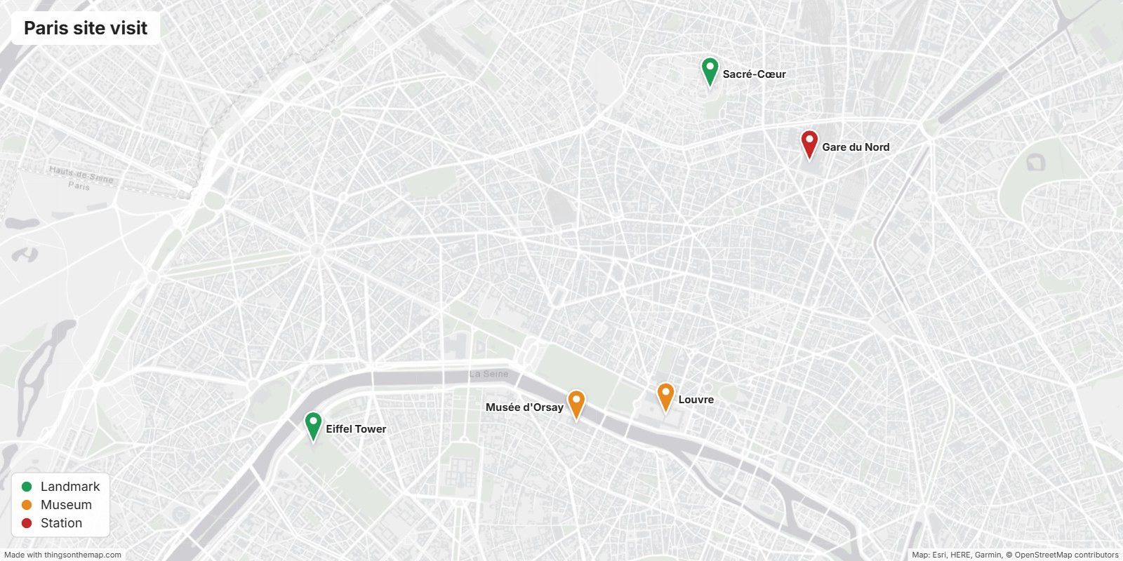
From a list to a map image in three steps
You keep control of every point. The map only shows what you checked.
Add your points
Type an address, paste coordinates in any common format, drop a Google Maps link, or import a whole list at once. Copy one of our ready-made prompts to let your AI assistant extract the list from a document for you.
Check each location
An address is only a centre point and an AI can be confidently wrong. Switch to satellite view, open Street View, Google Earth, Bing or Mapillary with one click, drag the pin to the exact spot and mark it as verified.
Export the image
Pick a size and a map style, add a title and a legend, and download a PNG that drops straight into Word, PowerPoint, Google Docs or your CMS. Attribution is added for you.
Everything you need, nothing you have to learn
Things on a Map does one job well: a trustworthy map image, fast.
AI list import
Paste the JSON an assistant produces from your document. Addresses are geocoded, coordinates are read in any format, and every point is flagged until you have verified it.
Any location format
Decimal degrees, degrees-minutes-seconds, lat/lon in either order, Google, Apple, Bing and OSM links, WKT points, and any system by EPSG code, such as Dutch RD, UTM, Lambert and the British grid.
Verify with imagery
Satellite layer in the editor plus direct links to Google Maps, Street View, Google Earth, Bing Maps, Mapillary and OpenStreetMap for each point.
Categories & colours
Group points into categories with their own colour. The legend builds itself. Labels avoid each other where they can.
Open map styles
Light grey, streets, topographic, outdoors and satellite backgrounds from OpenStreetMap, OpenTopoMap and Esri. Clean enough to print.
Document-ready export
Preset sizes for Word pages, slides and social posts, or the exact view you framed. Title, legend and source line included.
Your data stays yours
Projects are saved in your browser and as a JSON file on your disk. Nothing is uploaded to us. Geocoding requests go directly to the open OpenStreetMap service.
Works worldwide
Global map data and geocoding. Not limited to one country or one language of address.
Who puts things on the map?
Anyone who needs to show where in a document, not just what.
Engineering & utilities
Substations, cabinets, work sites and temporary installations in a neighbourhood plan or permit application.
Real estate
Properties, amenities and transport links in a listing or investment memo.
Events & logistics
Venues, parking, pick-up points and routes in an event briefing.
Consultants & researchers
Study sites, interview locations, branches and competitors in a report or thesis.
Sales & franchises
Customers, prospects and territories in a quarterly deck.
Public sector
Facilities, complaints, projects and consultations in a council document.
Education
Historic sites, field-trip stops and sample locations in teaching material.
Journalism
Incident locations and named places in an article, verified before publishing.
Free. No account, no limits on points.
Unlimited points and projects, every map style, address lookup, verification links and PNG export. The image carries a small "Free with thingsonamap.com" line.
Want more, like a high-resolution export without our line, your own branding or shared projects? Tell us what you need.
Questions people ask
Can I trust coordinates an AI gives me?
No, not without checking. Language models often produce plausible-looking but wrong coordinates. That is why the editor imports every point as "not verified", shows it with a red dashed border, and gives you satellite and street-level links to confirm the exact spot. Prefer letting the AI give an address that we geocode, rather than inventing coordinates.
Which map data do you use?
Background maps come from OpenStreetMap, OpenTopoMap and Esri; addresses are looked up with Nominatim, the OpenStreetMap geocoder. All are open or free to use with attribution, which is added to every exported image automatically.
Where is my data stored?
In your browser (local storage) and in the project file you save on your own computer. Nothing is sent to our servers. Address lookups go straight from your browser to the OpenStreetMap geocoding service.
Can I use the exported image commercially?
Yes, as long as the attribution line on the image stays visible, which the map data licences require. Our own "Free with thingsonamap.com" line can be removed in a future paid version; the map data attribution always stays.
What image size do I get?
Presets for a Word page (1600 × 800), a widescreen slide (1920 × 1080), a square (1200 × 1200) and A4 landscape, or any custom size. You can let the map fit all points automatically or export exactly the view you framed in the editor.
Does it work outside Europe?
Yes. The map, geocoder and verification links are global. Coordinates in UTM, Dutch RD, Belgian and French Lambert, the British grid and more are recognised by their EPSG code.